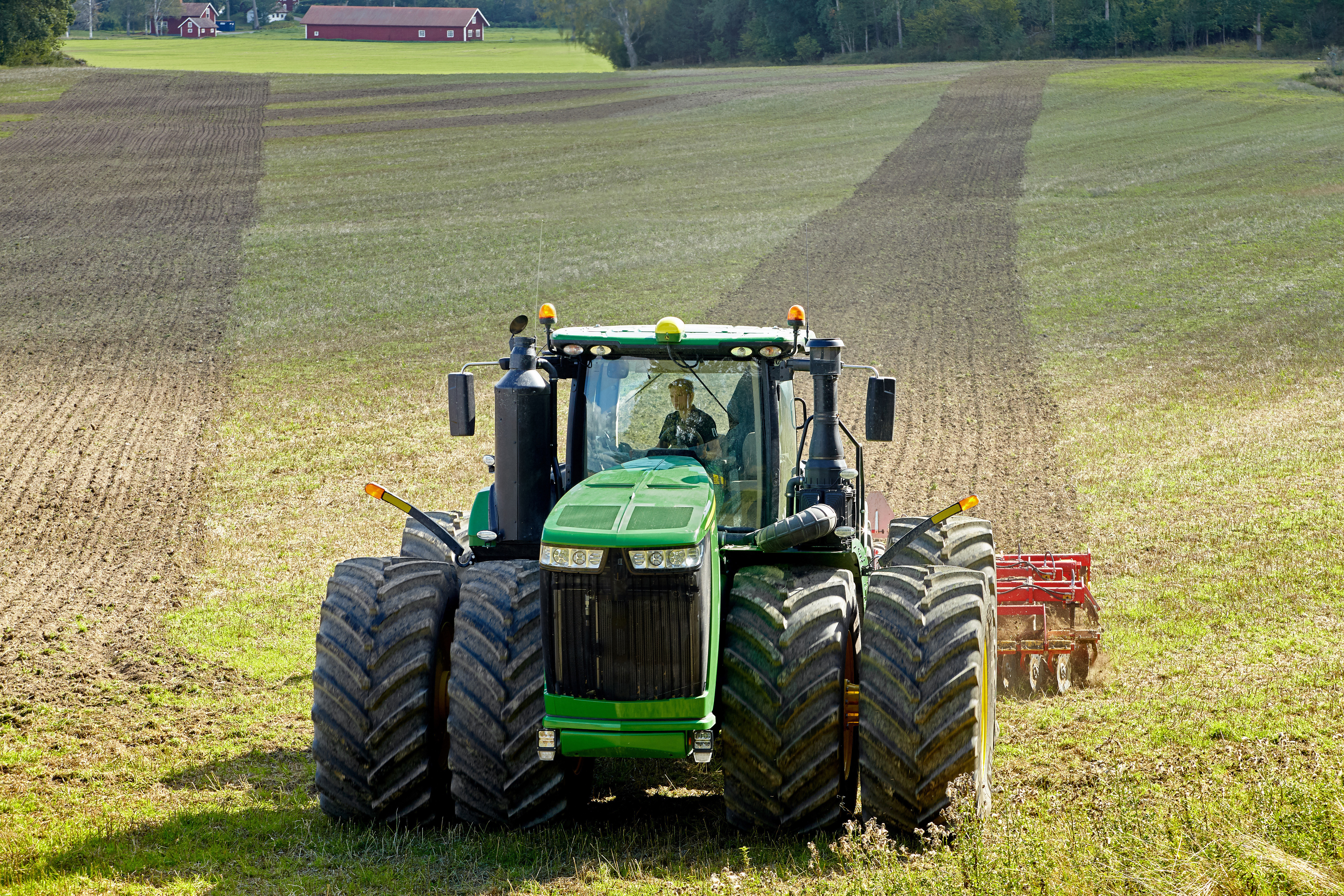


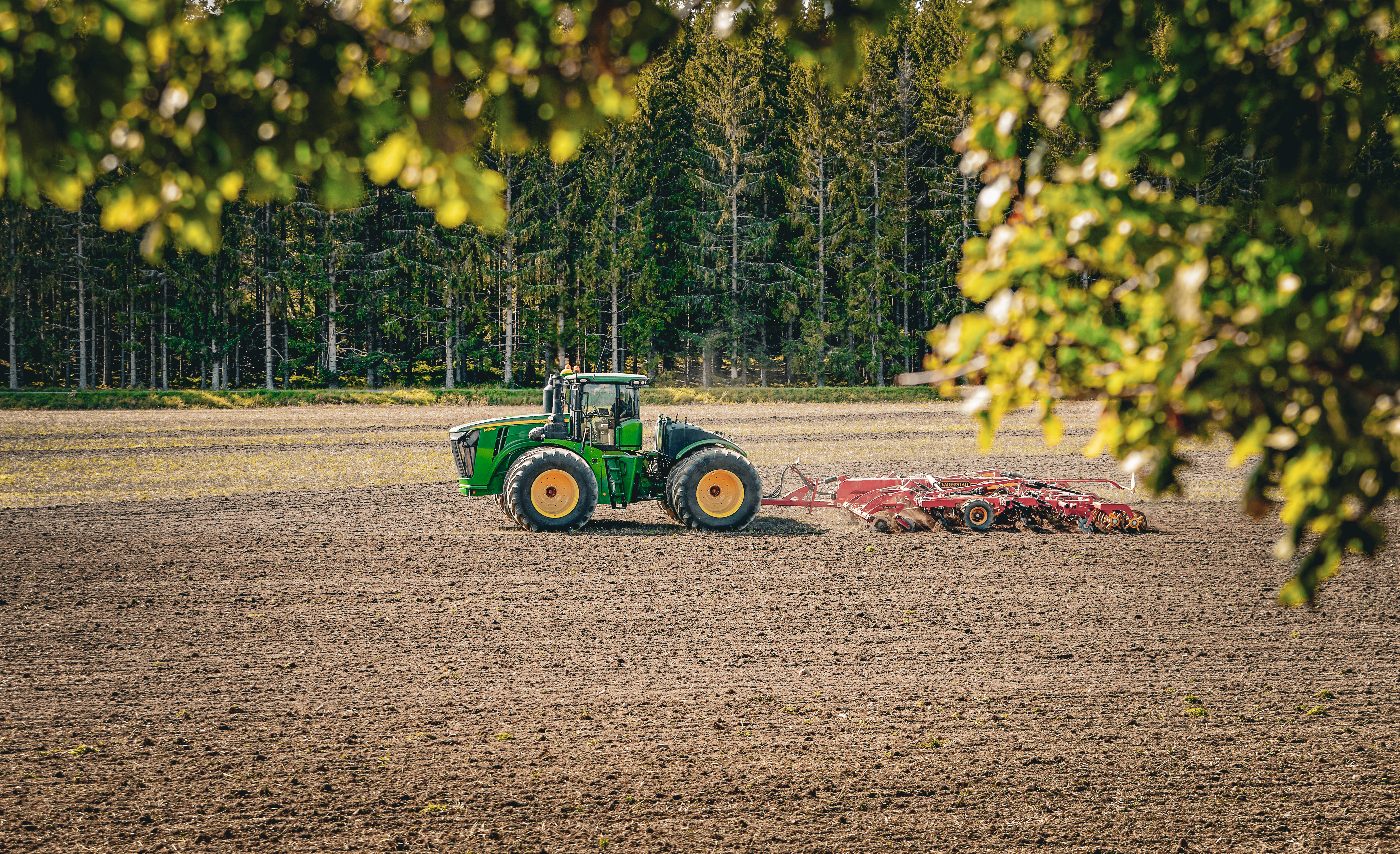
AI, space satellites and agriculture: looking down to grow up
Imagine being able to “see” every metre of your fields every few days, without leaving the farmhouse. That’s the promise of satellite crop monitoring. Satellites which are orbiting Earth carry sensors that measure the light reflected by plants and soil at different wavelengths, some visible, some invisible to our eyes. Analyzing this date will result in being able to infer:
- Plant vigor: Are crops growing densely and uniformly, or are there thin patches?
- Water stress: Is any part of the field becoming too dry?
- Nutrient deficiency: Are plants lacking nitrogen or other key elements?
- Pest or disease onset: Do some areas show early signs of stress that might indicate insects or fungal attack?
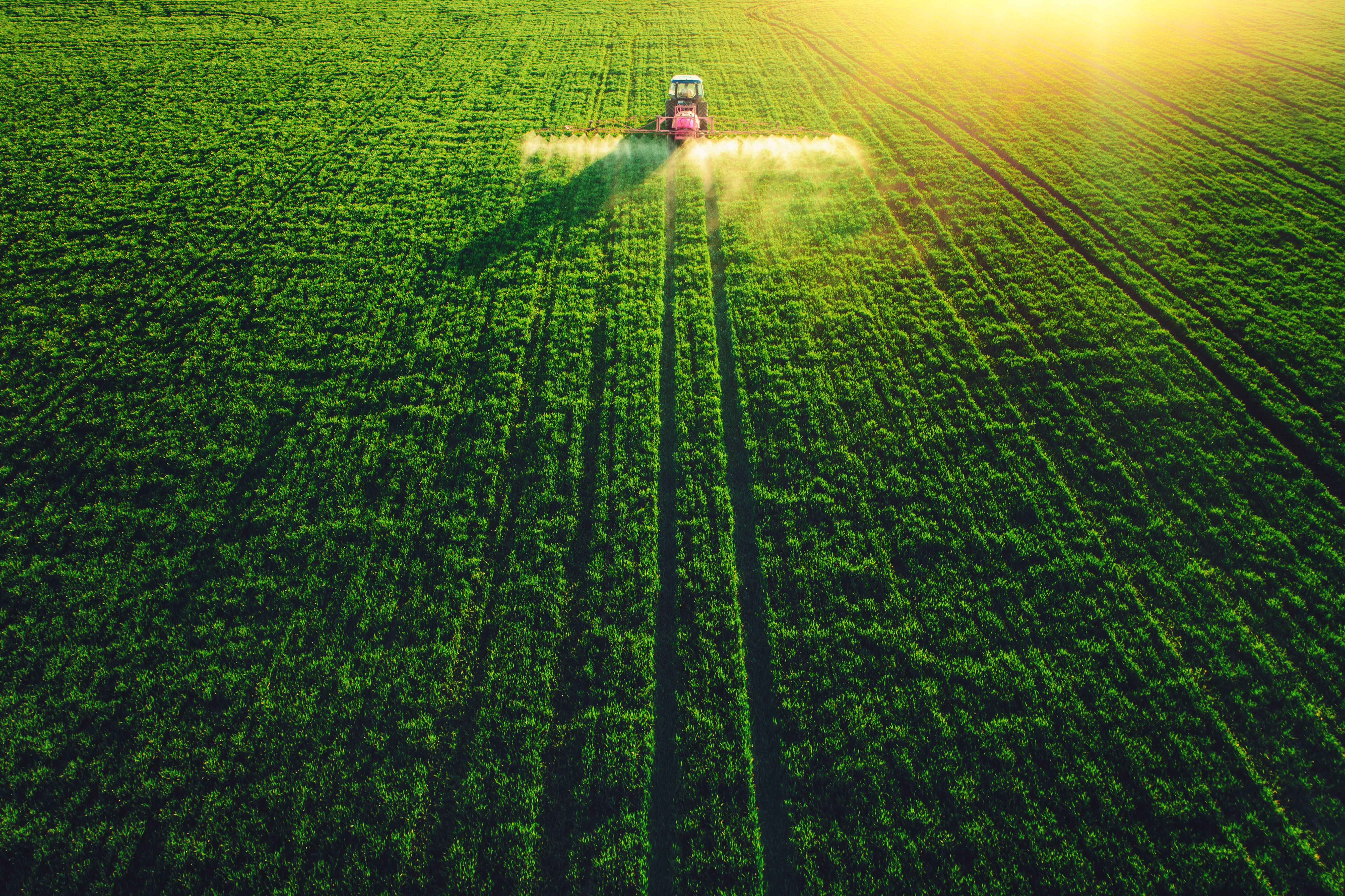
In plain terms, satellites act like an “early-warning system,” flagging problems days or even weeks before you might notice them walking the rows. That head start can mean the difference between a small intervention and a large yield loss. Farmers receive easy-to-understand maps and alerts that help them make informed decisions:
- Early Detection: Spot issues weeks early
- Save Resources: Target inputs precisely
- Yield Predictions: Forecast with AI accuracy
- 24/7 Monitoring: Continuous Surveillance
- True Colour: visual RGB images showing fields as they appear to the human eye
- Near-Infrared: invisible light that reveals plant health and vigour
- Short-Wave IR: shows water stress and moisture levels
- Radar: penetrates clouds to measure soil moisture
You can access online the raw data gathered from the satellite. For example, the European Space Agency allows access to the data collected by both ESA Copernicus Sentinel-1 and Sentinel-2 (https://browser.dataspace.copernicus.eu/) – you can select the desired satellite from the dropdown menu.
Tip for small farmers: You don’t need to download raw data yourself. Platforms that deploy AI technologies will do that for you and will provide more intuitive and user-friendly experiences.
Turning satellite measurements into actionable field maps involves several steps, for which AI becomes an essential tool. In fact, AI models correct for atmospheric effects (haze, water vapour) and align images so each pixel matches the same ground spot over time, machine-learning and computer-vision techniques automatically trace the outlines of individual fields, even in small or irregular plots, and AI will distinguish major crop types (wheat, maize, soy, etc.) and tracks development phases, sowing, emergence, flowering, so farmers know exactly what stage each part of the field is at. Furthermore, training on years of historical satellite and yield data, AI can spot unusual departures from normal growth patterns and predict final yields with surprising accuracy.
- Combine satellite and ground truth: Walk your fields periodically to verify satellite alerts, this will build your confidence in the maps.
- Learn the “normal”: Review historical NDVI timelines for your fields so you can spot deviations more easily.
- Stay curious: As you become comfortable with NDVI and NDWI, explore other indices (e.g. chlorophyll or heat stress indices).
Satellite monitoring is no longer a far-off high-tech dream. It is here, free and accessible, thanks to open-data programmes and smart platforms (although there are premium platforms available). Tapping into the power of NDVI, NDWI and radar backscatter, allows small farmers to detect problems earlier, target interventions more precisely and ultimately harvest healthier, more abundant crops. The sky above your fields holds a wealth of information, now is the time to put it to work.
Written by Rocco Limongelli, expert in AI & Robotics.